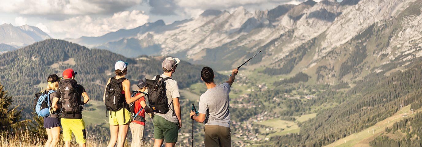
La Clusaz and the Aravis Massif offer you a wide range of hikes, from easy family walks to multi-day treks and day trips. The refuges of the Aravis can welcome you for a good meal or a night in altitude. In the country of the reblochon cheese, you will discover the flowery pastures, the breathtaking views on the snowy summits of the Mont Blanc and the mountain lakes! With a bit of luck, you may even spot chamois, ibex or marmots, and why not the bearded vulture, the largest bird of prey in Europe… Tête du Danay, Plateau de Beauregard, Lac de Tardevant, Col des Annes… so many names that call for wandering!
LIFTS
To access in a few minutes to the good air of altitude and to walk in the middle of the mountain pastures, the walkers can take the Beauregard gondola, the Patinoire gondola, the Crêt du Merle and the Loup chairlifts from the village. Once at the top, the trails are yours to explore, without forgetting a break directly at the farm to refuel.
SOME ADVICE TO ENJOY YOUR HIKE
- A topo-guide of the hikes in the Aravis is on sale (5€) or in free consultation at the Tourist Office.
- You can also buy it online on our online store (secure payment).
However, do not hesitate to visit us at the Tourist Office: our advisors will be able to give you all the necessary information if needed. - Choose the hikes according to your level and the walking time indicated.
- Check the weather report and find out about the current conditions before you leave. Thunderstorms are frequent at the end of the day in the mountains in summer: it is better to leave in the morning.
- Make sure you are equipped for the chosen circuit: walking shoes, water, food, sun cream, sunglasses and a little wool are the basics for alpine hikers.
- If you come across a Patou (a herd protection dog), adopt the right attitude. Here is a document to give some advice
Les guides et accompagnateurs
application Virées en Aravis
Near Annecy in the heart of the Tournette – Bornes – Aravis massifs. This application allows you to use your phone or tablet as a GPS. Choose a route and download it in one click according to your criteria (type of activities, level of difficulty, theme…). Let yourself be guided! No need for an Internet connection to practice your hike, all the information is embedded on your mobile. You only need to have a charged battery.
It’s a very easy to use application, even without technical knowledge, for everyone: from the beginner to the experienced. The app will guide you on the route with directional indications, alert you to points of interest with interactive and audio content. Whether you are a sportsman or an amateur, solo or with your family, you will enjoy the landscapes while discovering the heritage, the fauna, the flora, the local products…. which decorate the routes.


