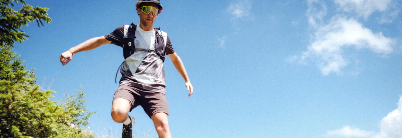
Did you just have a flashback of your fitness resolutions for 2024 and realize it’s time to get moving? Perfect timing, because now is the ideal moment to start trail running!
Take advantage of your stay in La Clusaz to get into trail running with our tips and advice from the ibex.
EQUIPMENT
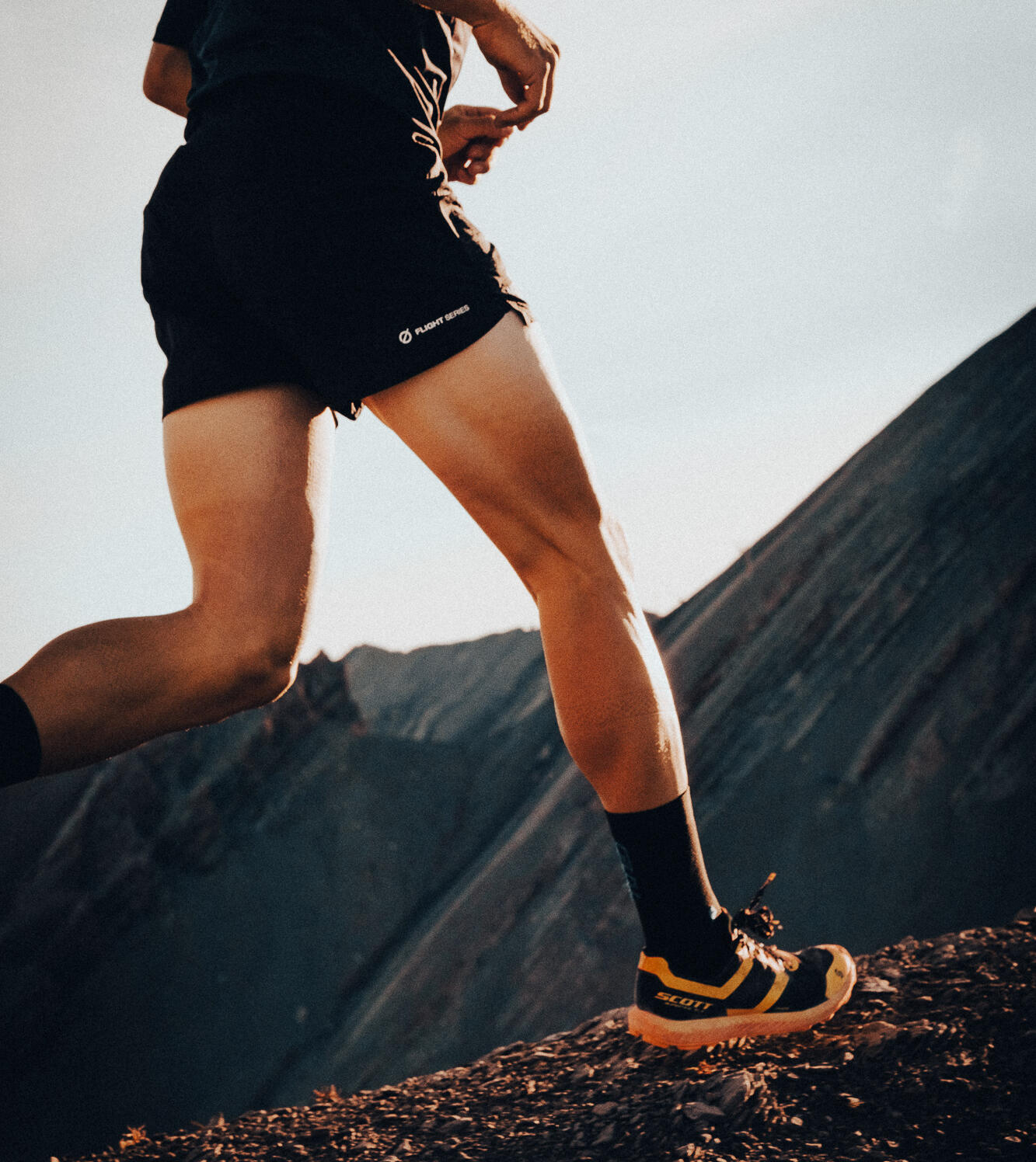
You can start with a good pair of shoes and your legs. If you find that you enjoy it, that will be the time to explore all the accessories that can make your outings easier. For that part, we’ll let our local shops guide you according to your budget and sporting goals.
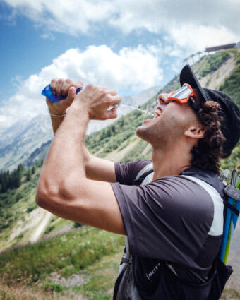
However, we do recommend that you bring water and something to eat during your adventures.
WARM-UP
To avoid injuries, don’t forget to warm up! Spend 5 to 10 minutes doing activities to get your heart rate up while working all your joints. You can do some knee lifts and heel kicks.
Pro tip for the lazy: start your route slowly, and it will serve as a warm-up.
EVERYONE AT THEIR OWN PACE
We know what you’re going to say: “Yeah, but I’ll never be able to run uphill!” No one’s expecting you to run the UTMB next week, so take it at your own pace. If you walk uphill, that’s okay! Experienced trail runners will tell you: “A trail is won on the uphill and lost on the downhill,” so save your energy on the uphill to master the downhill. The important thing is to work your cardio, strengthen your legs, and most importantly, enjoy the mountains! And don’t worry about those who pass you running, they probably have mountain goat genes.
THE PLAYGROUND
You’ve got your shoes on, and your mindset is ready—now it’s time to choose your route. And you’re in luck, because here in La Clusaz, we have just what you need!
If you don’t run regularly, we recommend starting off easy. Here are two routes that should suit you well.
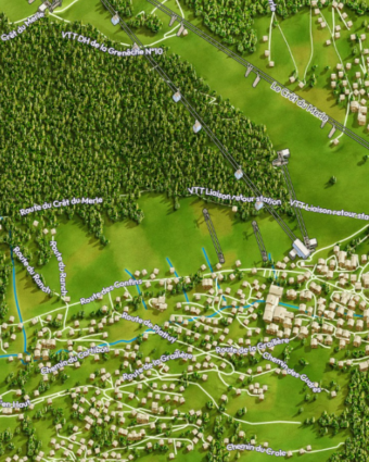
Lac des Confins and Plan Lacha 6,3 km
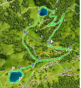
Bois de la Motte 5,6 km
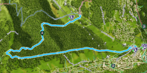
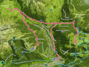
Col des Aravis – Village 9,2 km
A beautiful route to discover the most stunning panoramas of La Clusaz, passing through the must-see Col des Aravis with its view of the Mont Blanc massif. From the Crêt du Merle chairlift, follow the signs for “Col des Aravis via Crève-Tout.” At Col des Aravis, head towards “Sous L’Étale,” then “Les Prises.” From “Les Prises,” you have two options: either return to the village center via the Converses trail or continue the run to the Beauregard plateau and then return to the village center via the Beauregard cable car (free descent). Expect a small positive elevation gain of +113 m and a descent of -545 m.
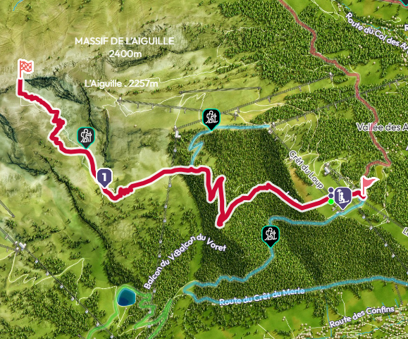
La tête du Danay 13,1 km
A challenging trail alternating between forested areas (perfect when it’s hot) and open views. Enjoy a magnificent panorama from Croix du Danay (with orientation tables) over the entire Aravis range, Le Bargy, and the Thônes valley. You’ll pass by several alpine chalets and the Danay refuge. With a positive elevation gain of 765 m, be sure to bring water and some snacks.
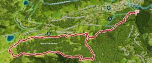
La porte des Aravis 11,1 km
A sporty hike to the legendary Grande Brèche in the Aravis range. Enjoy a beautiful forest ascent that transitions into open landscapes and then rocky terrain in the Combe de la Creuse. You’ll have stunning views of the Val d’Arly and the Beaufortain. The trail is well-marked but can be steep in places, with short rocky sections that may be equipped or not (fall risks are possible). It is also accessible from the top of the Crêt du Merle chairlift. On this trail, you’ll tackle a positive elevation gain of 935 m.